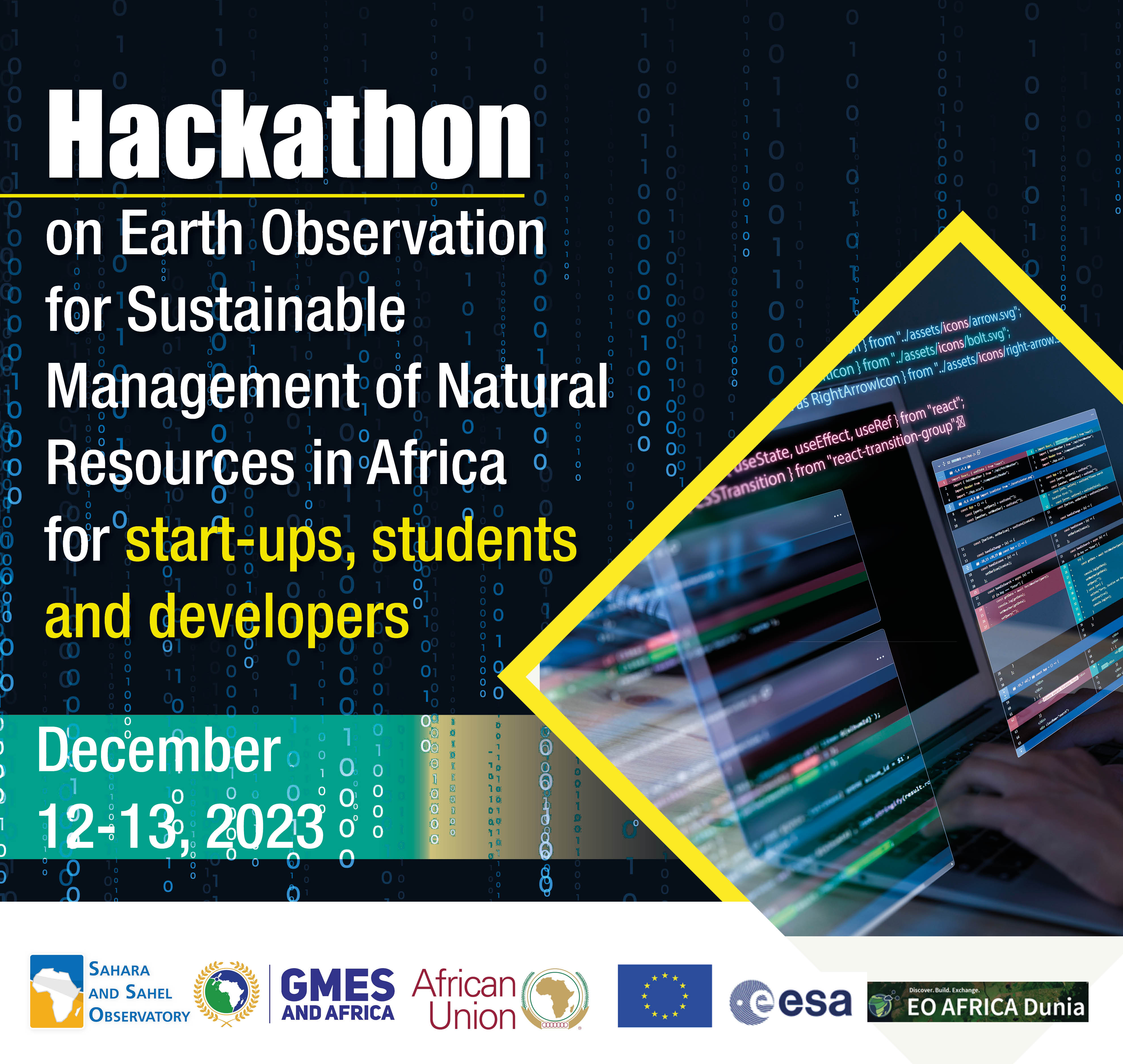
Dunia will be hosting the Hackathon on Earth Observation for Sustainable Management of Natural Resources in Africa, organised by the Sahara and Sahel Observatory. The hackathon will take place on the 12th and 13th of December, 2023 and is aimed at start-ups, students and developers in Africa.
Registration for this event has now closed.
Based on the research conducted and the exchanges with the end-users regarding their needs in terms of EO-derived products and services in support to land and water sustainable management, the participants will have to think of the following issue statement during the hackathon:
Develop an innovative solution that leverages Earth observation data, remote sensing technologies, and data analytics to tackle one of the thematic applications
- Enhance water efficiency in agricultural contexts
- Showcase the hotspots/bright spots of land degradation in general, or any of its sub-phenomena (erosion, urban extension on agriculture lands, fires, etc.)
- Improve the coastal lines management and monitor coastal erosion
- Strengthen food security and agricultural monitoring
Participants should develop scalable, practical, and user-friendly solutions that can contribute to sustainable agriculture and water resource management in the GMES&Africa context.
For the competition, access to the Dunia platform will be granted for registered participants to showcase their skills, creativity, and problem-solving abilities while addressing real-world challenges related to agriculture and irrigation, land degradation and food production. Indeed, they will have access to a wealth of remote sensing data, including multi-temporal satellite imagery (Sentinel, Landsat etc.) and climate data. The participants will thus have the opportunity to explore advanced data processing techniques, develop robust models, and employ cutting-edge algorithms to achieve their development. They will be supported by a set of training materials and technical support (videos, notebook, manuals, etc.) on which they can rely to develop their products and solutions.
¶ General Topics
¶ Food security
Monitoring the agriculture campaigns and assessing the crops growth and health, crop acreage and yields estimates are among the major needs identified in the region. Solutions that utilize remote sensing, data analytics, and machine learning to assess crop production, detect stress conditions, and provide early warnings of diseases or pest infestations are among the use-cases that can be developed.
¶ Coastline monitoring
African coasts are changing over time. Long-term monitoring will allow to produce facts and evidences that help understand coastal ecosystem, assess the risks, evaluate the consequences of its management and hence guide the development of policies and strategies for its sustainable management. EO application for shoreline monitoring over time, coastal erosion assessment and climate change impacts can be seen as use-cases to be developed.
¶ Land degradation monitoring and assessment
Effective analysis and interpretation of wide range of time-series satellite-derived agrometeorological variables can reveal the impact of the pressures on lands and the practices leading to land degradation or restoration, and can provide more lights on land degradation hot and bright spots. Such information can provide valuable insights for decision-making on land degradation spatial and temporal distribution and early signs of drought and desertification. Solutions that enable the assessment of land degradation extent and severity, vulnerability to erosion or fire, the quantification of degraded or restored lands, etc. can be seen as applicable recommendations for sustainable management of our lands.
¶ Irrigation scheduling
Optimizing irrigation through its scheduling based on the assessment of the crop water needs (that integrates weather conditions, soil moisture levels, etc.) can significantly improve water efficiency. Solutions that monitor and manage water usage for crops, that provide accurate real-time or predictive information for irrigation scheduling, taking into account local conditions and crop types, or that detect leaks or inefficiencies in irrigation are crucial for sustainable irrigation practices.
Fresher ideas highlighting innovation are highly recommended, and participants are not limited to the use-cases presented here as a reference.